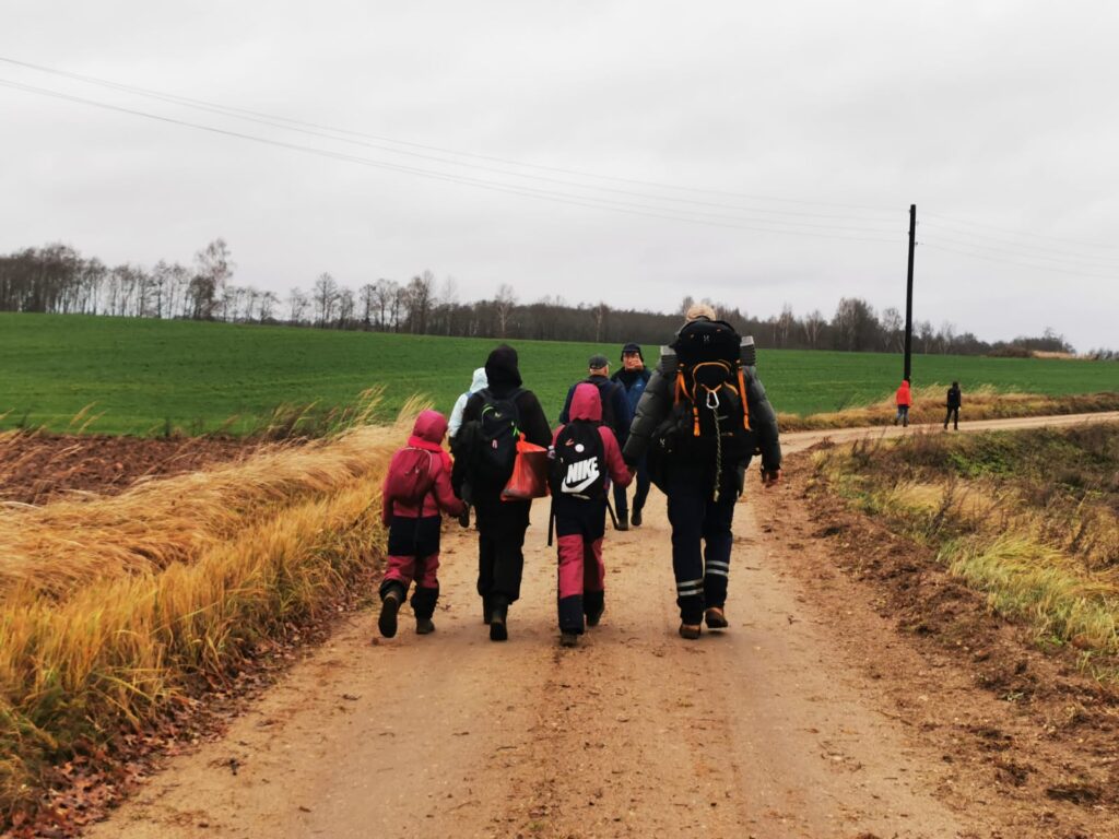
Sēļi people have their own Sēļtaka! Three years ago, we started work on creating a long hiking trail. The work has resulted in a 70-kilometer route from Subate to Nereta, which passes along beautiful hills and valleys, forest roads, and natural entrances, through small towns and scattered villages, meadows, marsh edges, and the coast of the river Dienvidsusēja. Most of the sections can also be ridden by bike.
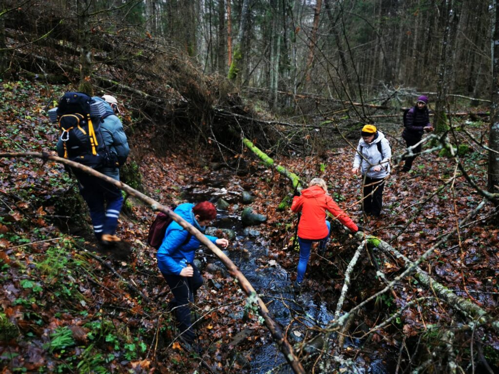
Photo by I.Mieze
The Subate-Gārsene section is marked in nature. The other sections are waiting for marking. GPX files are available for all sections. Find them in the “Sēļtaka” section. And we are also glad that ROVER supports us. Sēļtaka routes are available in the Latvian application and on the website https://ej.uz/sēļtakarover.
This year, we will regularly introduce the newly created trail with bright hiking events. Follow the information on the Facebook platform @selijaslaivas.